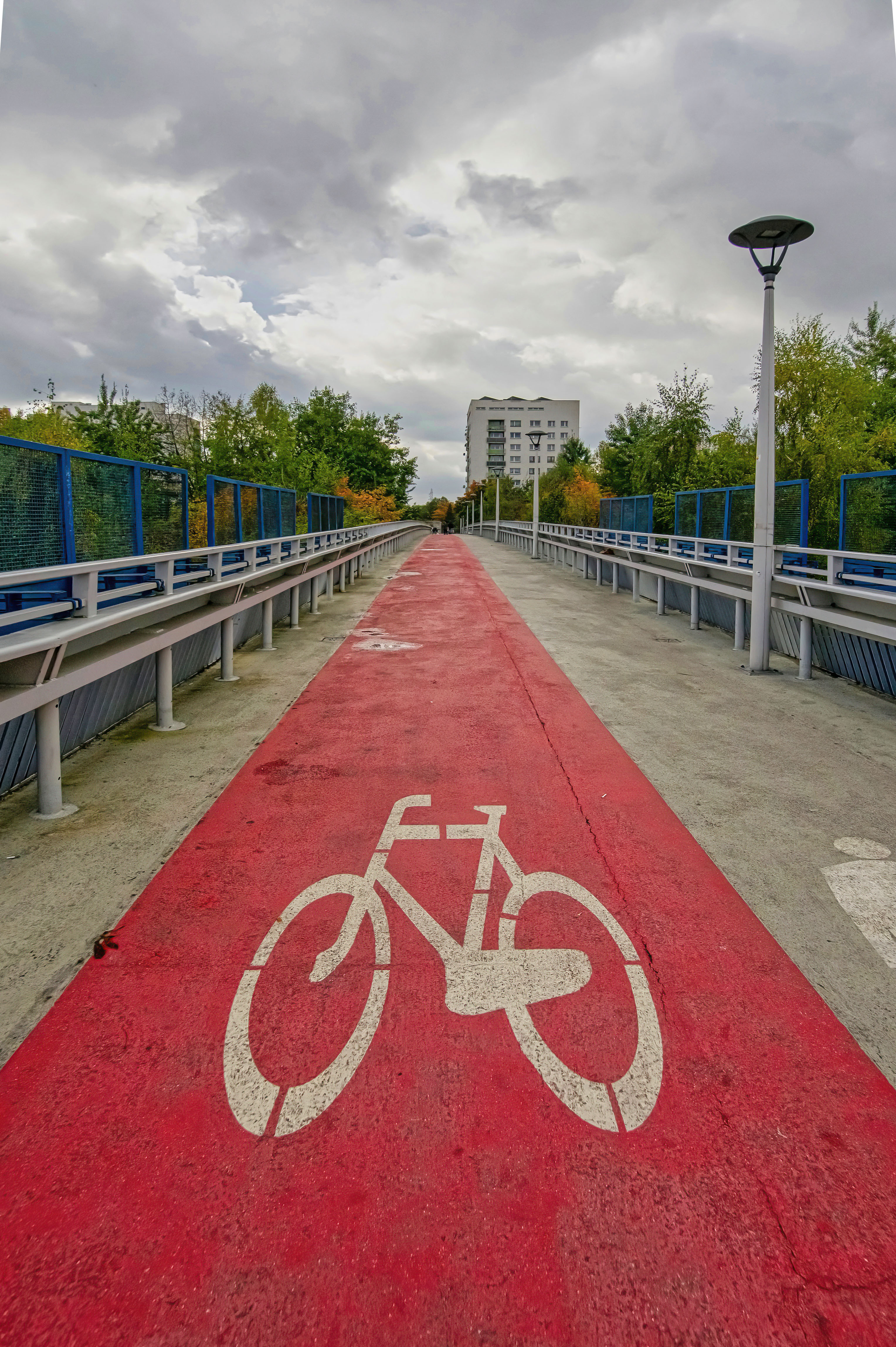
Delaware County's new Walk Roll Delco plan calls for 261 miles of pedestrian and cycling infrastructure across the county, including 39 miles of redesigned high-volume roads relevant to corridors like Lancaster Avenue through Radnor and Haverford.
The county unveiled the plan Monday, Aug. 17, with a press release issued Tuesday, Aug. 18, after Delaware County Council approved it at its July meeting. The Delaware County Planning Department finalized the document in April.
The safety case
The plan draws on sobering crash data: between 2018 and 2022, 1,035 reported crashes in Delaware County involved a cyclist or pedestrian. Nineteen percent of pedestrian crashes resulted in serious injury or death. Half of all pedestrians struck were walking in the street rather than on a sidewalk or designated path.
A public survey of more than 1,700 residents found that 35% walk, bike, use transit or a mobility device every day. Another 13.7% said they might bike more if protected lanes existed. Respondents flagged three core problems: missing infrastructure such as sidewalks or separated bike lanes, inadequate protection in existing infrastructure and gaps in connectivity.
What the 261 miles look like
Delaware County Planning Director Gina Burritt said the plan "establishes a long-term vision" for infrastructure that prioritizes safety and comfort for pedestrians and cyclists of all ages and abilities. The proposed network breaks down as:
- 65 miles of greenways (routes through open space)
- 72 miles of bikeways (on-road cycling facilities)
- 55 miles of bike boulevards (signage, intersection improvements and speed management)
- 34 miles of sidepaths (shared-use paths parallel to a road)
- 39 miles of "reimagined high-volume roads" redesigned for multiple modes of travel
That last category is relevant to Lancaster Avenue (Route 30), the main commercial corridor running through both Radnor and Haverford townships. Lancaster Avenue is among the county's highest-volume roads, though the press release does not specify which corridors fall within the 39-mile designation. The full 72-page plan is available online for residents who want to check specific routes.
What exists now
The county's current network is thin. It has 24 miles of shared lanes, four miles of bike lanes, 61 miles of paved trails and 3,845 miles of sidewalk.
Funding and next steps
Council's approval allows the Planning Department to seek grant funding and work with PennDOT and local municipalities to implement the recommendations. No specific timeline or first project has been announced.
"I'm really glad we are moving forward with this plan," Delaware County Council member Elaine Paul Schaefer said Monday, Aug. 17. "It's not just about active transportation. It's about getting the vehicles off the road and reducing carbon emissions as well."
Schaefer said the plan aligns closely with the county's Sustainability Plan goals.
Walk Roll Delco advances the county's Vision Zero Delco Safety Action Plan, approved by Council in February 2025, which aims to eliminate traffic-related fatalities through road design changes, speed-limit evaluations and infrastructure upgrades.
Neither Radnor Township nor Haverford Township commissioners were reached for comment on the plan. Residents can review the full report at gis.delcopa.gov/portal/apps/sites/#/walk-roll-delco or contact the Delaware County Planning Department at 610-891-4943.