Flooding rain and wind gusts strong enough to knock out power could hit Radnor and Haverford townships by Friday as a nor'easter takes shape along the Atlantic coast.
Multiple forecasters warned Monday, Sept. 21, that the developing storm system could bring several rounds of heavy weather to the Philadelphia region through the weekend. The storm's exact track and intensity remain uncertain. But AccuWeather said it was leaning toward a path closer to the coast, which could bring more significant impacts.
AccuWeather meteorologist Alex DaSilva told Newsweek that "gusty winds, heavy rain and coastal flooding can occur across portions of the Northeast and mid-Atlantic later this week and into the weekend."
DaSilva added that leaves still on the trees increase the risk of localized power outages, especially in coastal areas where winds can be stronger.
What forecasters are watching
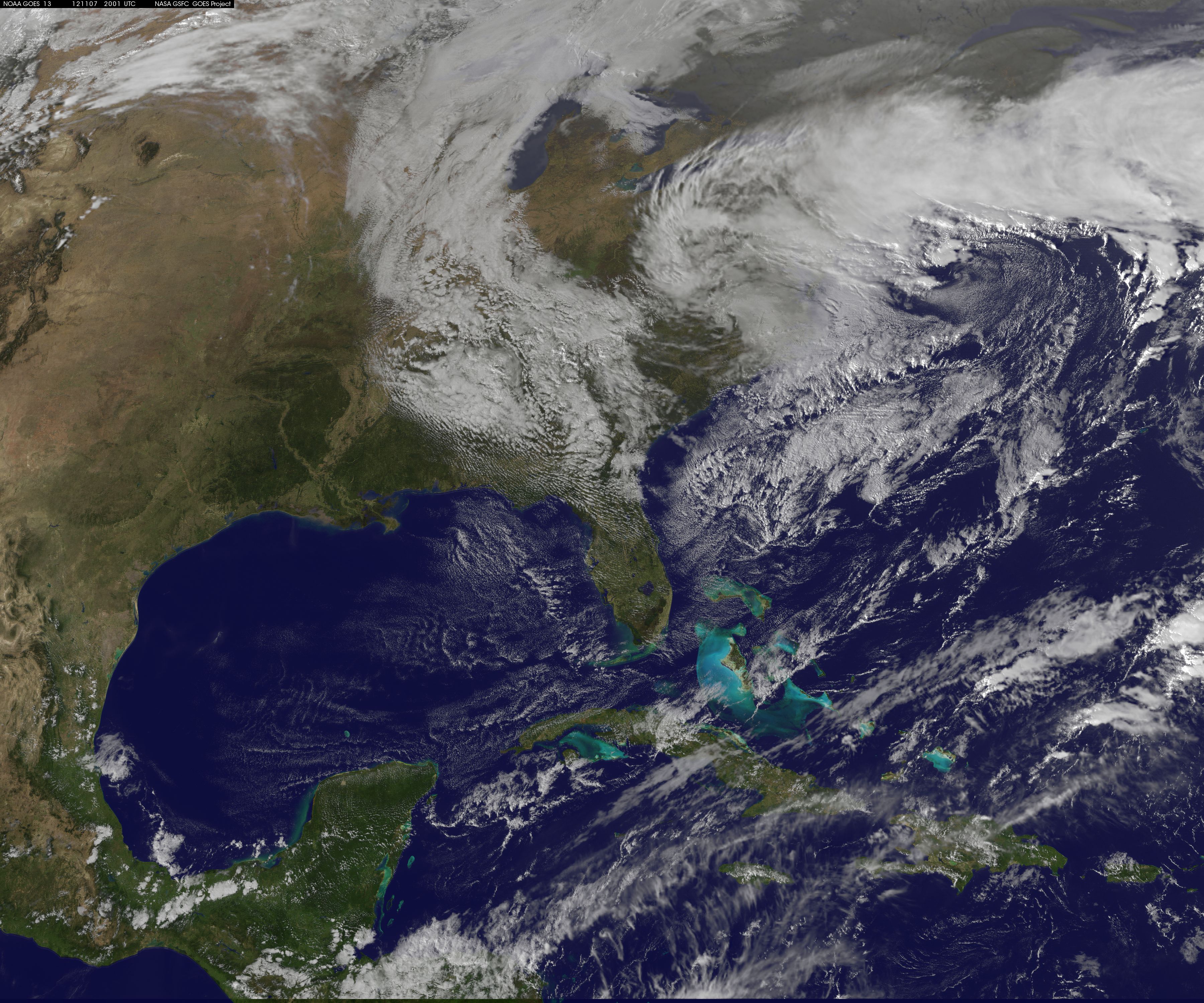
The storm could follow a path similar to Superstorm Sandy in 2012, drifting out to sea before curving back toward the mid-Atlantic coast, according to AccuWeather. The forecaster cautioned that the storm is not expected to match Sandy's intensity, but said impacts could range from significant to severe if it strengthens and turns inland.
If the system keeps moving out to sea, impacts would be far less severe.
FOX Weather reported that by Saturday, Sept. 26, and Sunday, Sept. 27, the low-pressure center is expected to track north toward the I-95 corridor. A full moon later in the week will raise tide levels, and the storm could push water even higher, according to AccuWeather.
Rain is expected to arrive in the area as early as Tuesday, Sept. 22. The National Weather Service forecast showers through midweek, with wind gusts up to 30 mph by Wednesday, Sept. 23, according to a Patch report. The heavier rain and stronger winds tied to the nor'easter itself are forecast for Friday, Sept. 25, through the weekend.
Delaware County has 230 flood-prone areas
Delaware County has 230 identified flood problem areas, with 130 classified as high priority, according to the county's planning department. The county acquired 70 flood gauges in August using $332,119 in state and federal grants to improve early warning detection.
Delaware County Planning Director Gina Burritt said in the county's August flood gauge announcement that the data would be used by the Department of Emergency Services to monitor flood events and by the planning department for stormwater management.
How residents can prepare
Residents can sign up for the Delco Alert emergency notification system, which delivers storm warnings, road closures and service changes to phones, emails or landlines. Text "HealthyDelco" to 888-777 to register.
Radnor Township's Emergency Management office can be reached at 610-688-5600. Haverford Township's emergency services line is 610-446-1000. Residents can report PECO power outages at 1-800-841-4141.
Forecasters said the storm's track should become clearer by midweek. The National Weather Service had not issued watches or warnings for Delaware County as of Monday, Sept. 21.